Pretty cool: marinetraffic.com tracks ships
by Volker Weber
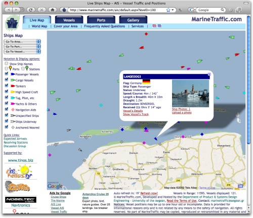
From their FAQ:
The system is based on AIS (Automatic Identification System). As from December 2004, the International Maritime Organization (IMO) requires all vessels over 299GT to carry an AIS transponder on board, which transmits their position, speed and course, among some other static information, such as vessel’s name, dimensions and voyage details.
Our base stations are equipped with an AIS receiver, a PC and an Internet connection. The AIS unit receives data, which are processed by simple software on the PC and then sent to a central database by means of a ‘web service’.
Data received are uploaded in the database in real time and therefore they are immediately available on the map and on other pages. However, several positions shown on map may be not continuously refreshed (e.g. when a ship goes out of range). Vessel positions shown on map may be up to 1 hour old.
[Thanks, Lucius]
Comments
spiegel.de: "An equally compromising situation is created by the Automatic Identification System (AIS), which was introduced in 2004 to prevent collisions by continuously broadcasting detailed information on one's own ship to all other ships in the same waters. Receivers can be purchased on the open market. German suppliers sell them starting at €360 apiece."
Now all I need is a loyal crew of pirates.
area around Somalia seems to be empty of vessels. Tough luck for the pirates.
The real piratebay
They only need an AIS receiver.
Yeah, there is it again the pirate talk. There is no free available place on the web to monitor the traffic on the African coast of Somalia.
But there is one for Europe and the Medit. Sea. Real time vessel movements inside a rich media client:
http://www.digital-seas.com/fleet_tracking/regions/balticsea_south.html
Have fun, watching :-)
I use:
http://www.vesseltracker.com/app
to see if its worth to drive into the habour for a photo tour
Stefan, Hamburg
for Hamburg and the German North Sea Coast try:
www.digital-seas.com/fleet_tracking/regions/northsea_de.html
and get a real time view of the traffic situation.
You can see marine traffic at IZMIT BAY - KOCAELI/TURKEY from this link;
http://www.marinetraffic.com/ais/default.aspx?centerx=29.7¢ery=40.7385&zoom=11