Navigate London public transport on Google Maps
by Volker Weber
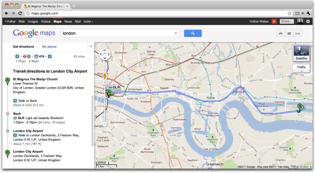
Starting today, you can get public transport directions for London within Google Maps. One of Europe’s largest metropolitan areas, London is a major destination for both business travelers and tourists. More than 1 billion passengers are serviced by Transport for London (TfL) every year across over 18,000 bus stops and over 250 Underground stations.
Comments
Good stuff. Will come handy in 3 weeks :-)
Frank Mueller, 2011-07-28